


la charite-sur-loire

gdela
User


Length
3.1 km

Max alt
179 m

Uphill gradient
36 m
Km-Effort
3.6 km

Min alt
154 m

Downhill gradient
37 m
Boucle
Yes
Creation date :
2022-07-31 14:33:45.818
Updated on :
2022-07-31 16:23:57.141
1h09
Difficulty : Easy

FREE GPS app for hiking
 SityTrail
IGN / Geographical institutes
SityTrail Plus
The world is yours!
About
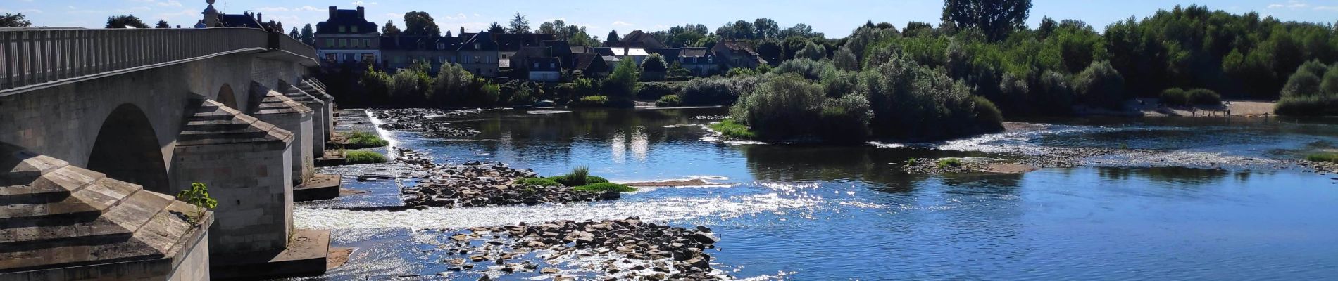
Trail Walking of 3.1 km to be discovered at Bourgogne-Franche-Comté, Nièvre, La Charité-sur-Loire. This trail is proposed by gdela.
Description
Balade dans la ville, visite du prieuré et de l'église Sainte-Anne
Photos


Positioning
Country:
France
Region :
Bourgogne-Franche-Comté
Department/Province :
Nièvre
Municipality :
La Charité-sur-Loire
Location:
Unknown
Start:(Dec)
Start:(UTM)
500780 ; 5224845 (31T) N.
Comments